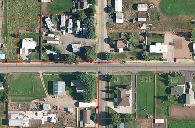
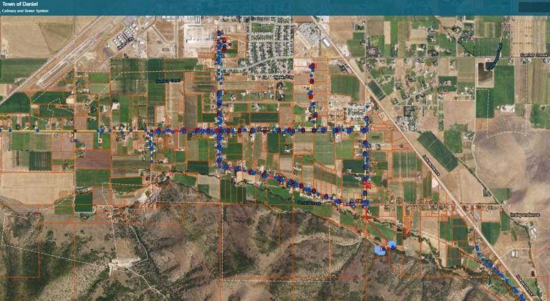
Epic Engineering GIS experts produced a cost-effective map of the system, that allowed new water users and operators interactive GIS access to their water system. Our team of GIS experts combined the existing data with limited, cost-effective survey to create an easy to use and effective GIS model of the system. This online model was also converted to Google Earth for easy usage in the field. All as-built records of the system were dynamically linked and uploaded to the cloud, allowing operators and staff the ability to access as-built information in the field for any part of the system they are looking at.