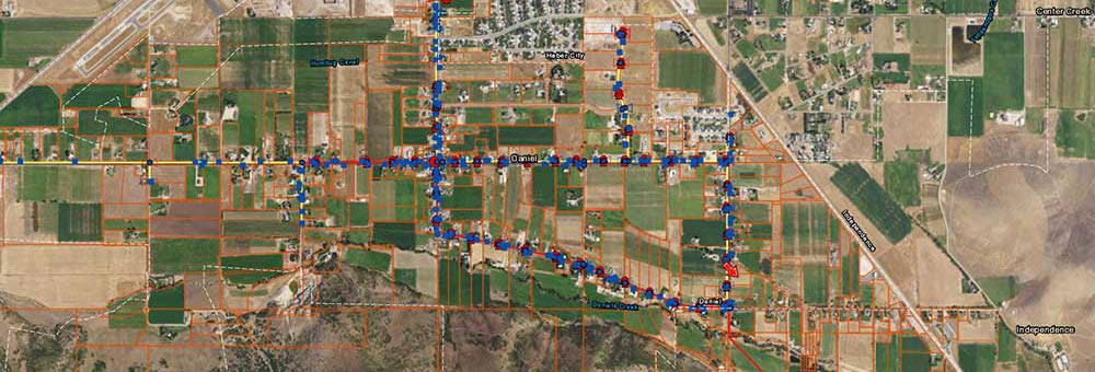
As a planning tool, we perform advanced queries and spatial analyses using Geographic Information System (GIS) software that can answer questions about real-world spatial relationships. We perform 2D and 3D site assessments based on land use, zoning, open space, wetlands, socio-economic and other constraints for management plans, environmental reports, and public and municipal presentations. We perform build-out analyses to evaluate local and regional impacts of potential future community development to make informed land use planning decisions. We develop and manage geographic data and perform advanced analyses and topographic interpretation for municipal water, wastewater, storm water applications, and more. We utilize state of the art technology including ESRI, DJI, TerraExplorer and more to query and analyze spatial data.